Land Surveying
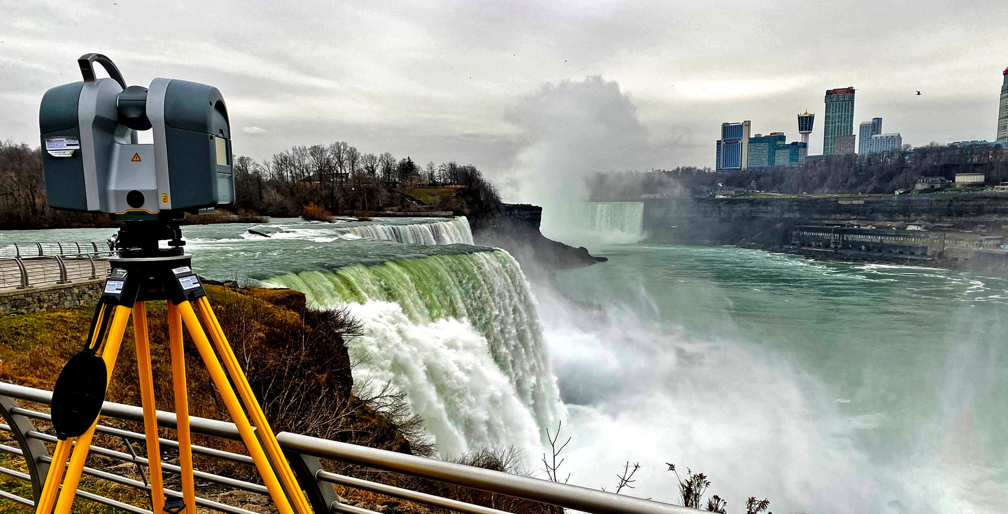
Ravi Engineering & Land Surveying, P.C.'s (RE&LS) survey staff has provided surveying services on numerous NYSDOT, NYSTA, NYSOGS, NYSDEC and various County and City projects. With a staff of 20 surveyors, RE&LS stands ready to respond to your project providing boundary, control, engineering and topographical surveying services, whether for commercial property development, renewable energy site plans, municipal roadway or transportation design.
Our survey staff has current OSHA certification for work in and around hazardous waste operations, and have completed advanced AutoCAD Civil 3D training, and FAA 2C training for survey accuracy.
 *Now providing Unmanned Aerial Vehicle (UAV) surveying service for greater terrain access (agriculture & forestry, canal inspections, ice/open water monitoring). Drone operators are FAA Part 107 certified UAV pilots, providing precise GPS-based photo control and check point data in less time.
Land Survey
- Topographic Survey
- Highway & Bridge Design Survey
- Boundary Survey
- Right-of-Way & Easement Mapping
- ALTA/ACSM Land Title Survey
- Wetland Location Survey
- Subsidence Monitoring Survey
- Legal Description Preparation
- FAA 2C Certification
- GPS/Geodetic Control
- Photogrammetric Control
- Unmanned Aerial Systems Mapping (UAS/UAV)
Land Survey
- Conventional Stakeout
- Finished Surface Modeling
- Machine Control Model Building
- 3-D DIgital Terrain Modeling
- Volume Modeling
- As-Built Survey
- Asset Inventory/Management
Land Survey
- Level A- Underground Utility Locating
- Level B- Utility Designation
- Level C- Visible Surface Feature Utility Survey
- Level D- Record Research/Data Collection
- Conflict Matrix Resolution
